Characteristics
- Higher rainfall than other parts of Victoria
- Coastal, mountain and farm communities
- The Otway Ranges are the main geographic feature
- Dense population close to forests and bushland
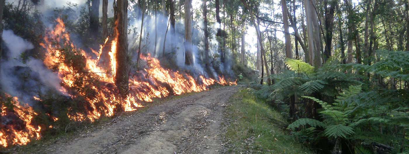
Fuel management
- Prioritising fuel management within 3 km of high-risk towns
- Planned burning to help prevent major bushfires from reaching priority communities
- Partnering with the community and CFA to manage risk on private land
- Preventing burning in some areas to protect sensitive ecosystems
Bushfire risk
Environmental metrics
Understanding the impact of fire on ecosystems requires first being able to define and measure ecosystem resilience. Tolerable Fire Interval (TFI) and Vegetation Growth Stage Structure (GSS) are used as indicators of ecosystem resilience at a regional level. These allow us to better understand ecosystem resilience and the impacts of fire.
Current and historic Tolerable Fire Interval and Vegetation Growth Stage Structures for the Barwon South West region are available in the Fuel Management Report
Strategic bushfire management planning
Strategic bushfire management planning is about bringing together land and fire managers, communities and stakeholders to develop a common understanding of bushfire risk and determine strategies and actions to reduce that risk.
This planning is informed by world-leading, bushfire behaviour modelling and research into community values that can be affected by bushfires. It brings together multiple perspectives to set agreed objectives for regional bushfire management.
The key output of strategic planning is six new Bushfire Management Strategies aligned to each of the Victorian Government Regions:
Download the Barwon South West Bushfire Management Strategy (PDF 11MB)
Download the Barwon South West Bushfire Management Strategy (Word Accessible 13MB)
The Strategic bushfire management planning process is jointly delivered by Forest Fire Management Victoria (FFMVic), Country Fire Authority (CFA), Emergency Management Victoria (EMV), and local government in consultation with communities. For more information about the Strategic Bushfire Management Planning process, see the Strategic Bushfire Management Planning page.
Page last updated: 26/09/23