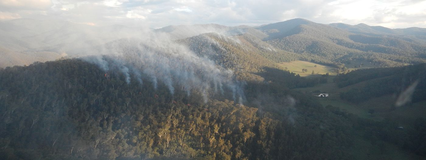
Characteristics
- Mountains to flat floodplains
- Forested water catchment areas which provide almost 40% of the inflows into the Murray darling system
- Part of the 'food bowl' of Australia
- Major settlements are along the Hume Freeway
- Ecosystems include alpine forest, grassy woodlands, and floodplains
Fuel management
- Intensely managing fuel on public land close to towns
- Fuel management to stop fires spreading to communities in the Alpine and Greater Gippsland Region
- Fuel management to protect critical assets, as well as nationally significant water catchment areas and fire-sensitive vegetation
- Maintaining forest roads and river tracks for quick response to bushfires
- Planned burning north and west of communities along the likely spread paths of bushfires
- Fire-sensitive species and vegetation guide the frequency of burning
Environmental metrics
Understanding the impact of fire on ecosystems requires first being able to define and measure ecosystem resilience. Tolerable Fire Interval and Vegetation Growth Stage Structure are used as indicators of ecosystem resilience at a regional level. These allow us to better understand ecosystem resilience and the impacts of fire.
Current and historic Tolerable Fire Interval and Vegetation Growth Stage Structures for the Hume region are available in the Fuel Management Report
Strategic bushfire management planning
Strategic bushfire management planning is about bringing together land and fire managers, communities and stakeholders to develop a common understanding of bushfire risk and determine strategies and actions to reduce that risk.
This planning is informed by world-leading, bushfire behaviour modelling and research into community values that can be affected by bushfires. It brings together multiple perspectives to set agreed objectives for regional bushfire management.
The key output of strategic planning is six new Bushfire Management Strategies aligned to each of the Victorian Government Regions:
Download the Hume Bushfire Management Strategy (PDF 9,7MB)
Download the Hume Bushfire Management Strategy (Word Accessible 15MB)
The Strategic bushfire management planning process is jointly delivered by Forest Fire Management Victoria (FFMVic), Country Fire Authority (CFA), Emergency Management Victoria (EMV), and local government in consultation with communities. For more information about the Strategic Bushfire Management Planning process, see the Strategic Bushfire Management Planning page.
Page last updated: 26/09/23